How LiDAR Reveals Lost Cities Hidden Under Jungles
LiDAR technology fires millions of laser pulses from aircraft to digitally strip away dense vegetation, exposing ancient ruins invisible from the ground. From Maya megalopolises in Guatemala to vast urban networks around Angkor Wat, this remote sensing tool has fundamentally transformed archaeology.
Lasers That See Through Trees
Deep beneath the canopies of Guatemala, Cambodia, and the Amazon, entire civilizations lay hidden for centuries — invisible to satellites, impenetrable to ground surveys. Then archaeologists started shooting lasers from the sky.
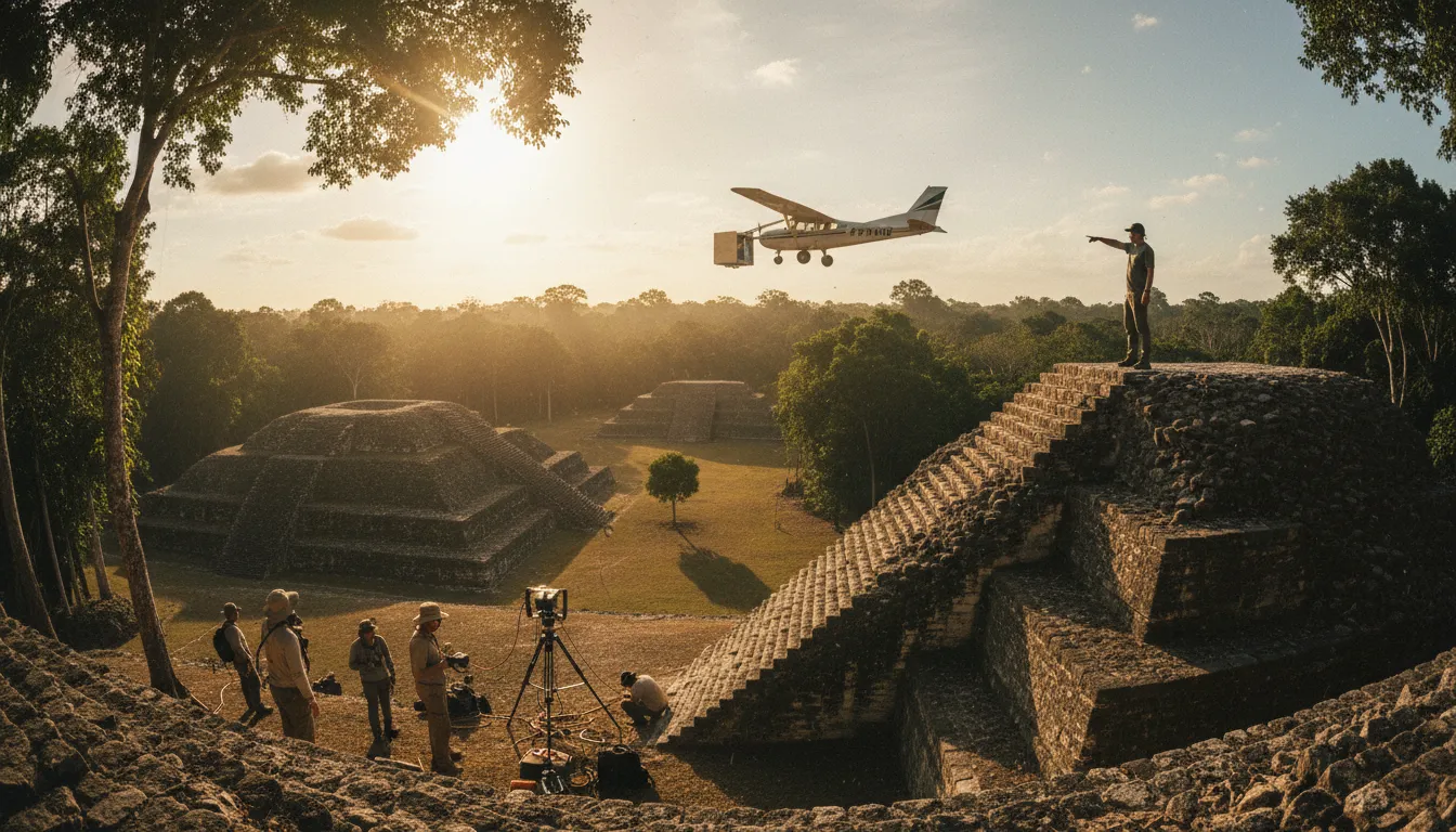
LiDAR — Light Detection and Ranging — is a remote sensing technology that fires millions of rapid laser pulses from aircraft toward the ground. By measuring exactly how long each pulse takes to bounce back, computers construct extraordinarily precise three-dimensional maps of the terrain below. The key breakthrough for archaeology: software can filter out reflections from leaves, branches, and vegetation, revealing the bare ground surface underneath — and any structures sitting on it.
How the Technology Works
A LiDAR system mounted on an airplane, helicopter, or drone emits up to 500,000 laser pulses per second. Each pulse travels at the speed of light, strikes a surface, and returns to a sensor. GPS and inertial navigation systems record the aircraft's exact position and orientation, allowing each return signal to be plotted in three-dimensional space with vertical accuracy within 10–15 centimetres.
In forested areas, some pulses hit the tree canopy, others slip through gaps and reach the ground. By separating these "first return" and "last return" signals, researchers digitally strip away the forest. What remains is a bare-earth model — a ghostly landscape where ancient walls, roads, terraces, and pyramids suddenly become visible.
Modern systems can survey roughly 130 square kilometres in a single day. A ground team on foot would need years to cover the same area — if the jungle allowed passage at all.
The Maya Megalopolis
LiDAR's most dramatic archaeological moment came in Guatemala. In 2018, an international consortium used airborne LiDAR to scan over 2,000 square kilometres of the Maya Biosphere Reserve. The results, published with National Geographic, stunned the world: more than 60,000 previously unknown structures emerged from the data, including temples, fortifications, raised highways, and irrigation canals.
The findings overturned decades of assumptions. The ancient Maya were not scattered city-states surrounded by empty jungle. Instead, LiDAR revealed a densely populated, interconnected civilization with sophisticated infrastructure — what researchers described as a genuine megalopolis rivalling ancient Greece or China in complexity.
From Angkor to the Amazon
Guatemala is far from the only revelation. Around Cambodia's Angkor Wat temple complex, LiDAR mapping exposed over 1,000 square kilometres of hidden infrastructure: residential neighbourhoods, elaborate hydraulic systems for water management, and road networks linking dozens of temple sites. The scans proved that Angkor was not just a collection of monuments but one of the largest pre-industrial urban centres on Earth.
In the Amazon basin, LiDAR has uncovered evidence of between 10,000 and 24,000 pre-Columbian earthworks. In Bolivia's southwestern Amazon, archaeologists identified monumental settlements over 1,400 years old featuring geometric layouts, radiating roads, concentric moats, and pyramid-like structures reaching 21 metres in height — challenging the long-held assumption that Amazonian peoples lived only in small, mobile groups.
Why It Matters Beyond Archaeology
LiDAR's impact extends well beyond discovering lost cities. The same bare-earth models help researchers understand ancient land management — terrace farming, water control, deforestation patterns — offering lessons for modern sustainability. They also aid in cultural heritage protection, giving governments precise maps of sites threatened by looting, illegal logging, or urban expansion.
The technology continues to grow cheaper and more accessible. Drone-mounted LiDAR systems now allow smaller research teams to conduct surveys that once required expensive manned aircraft, democratising a tool that was once limited to military and large-scale commercial applications.
What Comes Next
Vast stretches of tropical forest in Central Africa, Southeast Asia, and South America remain largely unsurveyed. Archaeologists estimate that LiDAR has so far mapped less than one per cent of the world's forested archaeological landscape. As costs fall and AI-assisted analysis speeds up the interpretation of scan data, the next decade could reveal civilizations and urban networks that rewrite entire chapters of human history.
The jungle still has secrets. But now, lasers can find them.