How Freshwater Hides Beneath Oceans—and Why It Matters
Vast reserves of freshwater lie trapped beneath the seafloor worldwide, totaling an estimated 500,000 cubic kilometers. Scientists are now mapping these hidden aquifers using electromagnetic surveys, raising hopes for water-scarce coastal regions.
A Hidden Ocean of Freshwater
Beneath the salty surface of the world's oceans and saline lakes lies one of Earth's most surprising secrets: enormous reserves of freshwater, trapped in sediment and rock thousands of feet below the seafloor. Scientists estimate that roughly 500,000 cubic kilometers of usable freshwater sit offshore—a quantity about 100 times greater than all the groundwater humanity has pumped from land-based aquifers since 1900.
These submarine freshwater reserves are not a single phenomenon. They have been found off the U.S. Atlantic coast, beneath the Great Salt Lake in Utah, near South Africa, Indonesia, and Australia. As land-based aquifers face depletion from drought and overuse, researchers are turning their attention to these hidden stores as a potential lifeline for coastal communities.
How Freshwater Gets Trapped Beneath the Sea
Most offshore freshwater entered the ground thousands of years ago, during ice ages when sea levels were far lower than they are now. Rain and snowmelt seeped into exposed continental shelves, saturating sediments with freshwater. When sea levels rose again over millennia, seawater covered these formations—but the freshwater remained locked below, insulated by layers of clay and low-permeability rock.
A second mechanism involves active recharge: mountains and highlands near coastlines funnel rainwater deep into the ground, where it flows seaward through porous rock formations and emerges—or stays trapped—far offshore. This process continues in many regions, meaning some offshore aquifers are not ancient relics but actively replenished systems.
Major Discoveries Around the World
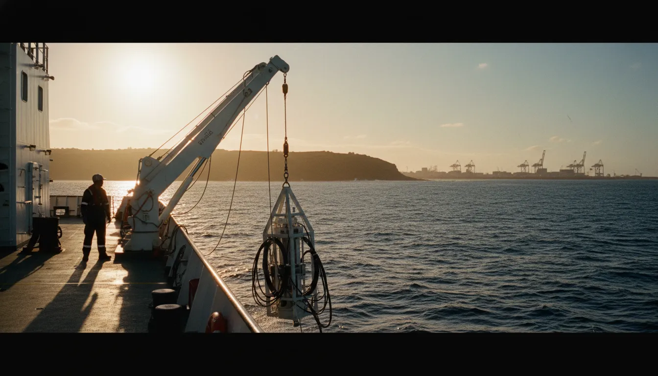
In 2019, researchers from Columbia University mapped a continuous aquifer stretching at least 350 kilometers along the U.S. Atlantic coast, from New Jersey to Massachusetts. It holds roughly 2,800 cubic kilometers of low-salinity water—comparable in volume to the largest onshore aquifers. The team used electromagnetic imaging from a research vessel to peer into the seafloor and trace the freshwater's extent.
In March 2026, a study published in Scientific Reports revealed that freshwater saturates the sediments beneath Utah's Great Salt Lake to depths of three to four kilometers. Scientists discovered it using airborne electromagnetic (AEM) surveys—instruments towed beneath a helicopter that send radio pulses into the ground and measure how subsurface materials conduct electricity. The freshwater extends much farther beneath the lake than anyone expected, possibly spanning its entire footprint.
Similar offshore or sub-lake freshwater systems have been identified near South Africa, Hawaii, Prince Edward Island in Canada, Jakarta, and southeastern Australia's Gippsland Basin.
How Scientists Map Underground Water
The key technology is airborne electromagnetics (AEM). A helicopter flies at roughly 60 meters above the surface, towing a large loop of wire. The loop generates an electromagnetic pulse that penetrates hundreds of meters into the ground. Different materials—clay, sand, saltwater, freshwater—conduct electricity differently, so the returning signal reveals a detailed cross-section of what lies below.
AEM surveys can cover vast areas in days, making them far more efficient than drilling wells. The U.S. Geological Survey now uses AEM extensively across states like California, Nebraska, and Michigan to map aquifers and assess groundwater quality.
Why It Matters for Water Security
Nearly 40 percent of the world's population lives within 100 kilometers of a coast, and many coastal cities face severe water stress. Traditional solutions—desalination, long-distance pipelines—are expensive and energy-intensive. Offshore freshwater reserves could offer a supplementary source, though extraction poses challenges: pumping too aggressively risks drawing saltwater into the aquifer and contaminating it permanently.
Scientists caution that these reserves are not an unlimited fix. Many formed over thousands of years and recharge slowly, if at all. But as mapping technology improves and water scarcity intensifies, understanding where freshwater hides—even beneath the sea—becomes increasingly critical for planning a sustainable future.