How Sea Level Rise Is Measured—and Why It's Off
Scientists use tide gauges and satellites to track rising oceans, but a landmark 2026 study found that 90% of coastal hazard assessments have been using the wrong baseline—putting millions more people at risk than previously estimated.
The Ocean's Ruler Problem
Sea level rise is one of the most closely watched indicators of climate change, yet a surprising flaw has been hiding in plain sight: scientists have been measuring it against the wrong baseline. A landmark study published in Nature in early 2026 found that roughly 90% of peer-reviewed coastal hazard assessments underestimated actual coastal water heights by an average of 24 to 27 centimetres. The error, described as a "methodological blind spot," means that tens of millions more people are at risk of flooding than official figures suggest.
To understand why, it helps to know how sea level is measured in the first place — and why the task is far harder than it sounds.
Two Tools, Two Perspectives
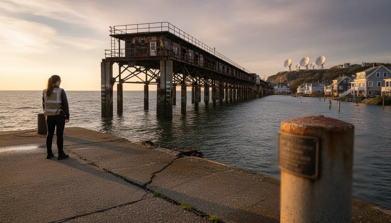
Tide Gauges: The Old Guard
The oldest method of tracking sea level is the tide gauge — a sensor mounted on a dock, pier, or seafloor platform that continuously records the height of the water surface relative to a fixed point on land. Some tide gauge records stretch back more than a century, making them invaluable for detecting long-term trends. Authorities like NOAA maintain global networks of these instruments, and their data underpin much of what we know about 20th-century sea level change.
The limitation of tide gauges is that they measure relative sea level — water height against the local land. If the land itself is sinking (a common occurrence in river deltas, for example), the gauge records a faster rise even if the ocean itself has not changed. This makes global comparisons tricky.
Satellite Altimeters: The Modern Standard
Since 1992, a succession of satellites — beginning with TOPEX/Poseidon and continuing through the Jason series to today's Sentinel-6 Michael Freilich — have tracked the absolute height of the ocean surface from space. These satellites send microwave pulses toward the sea and time how long they take to bounce back, calculating distance with millimetre-level precision. By averaging millions of measurements across the same orbital tracks, scientists can detect that global mean sea level rose roughly 90 mm between 1993 and 2022, and that the rate of rise is accelerating — hitting 5.9 mm in 2024 alone, well above the long-term average of 3.4 mm per year.
The Sentinel-6 satellite, operated jointly by ESA and NASA, is cross-calibrated to within 1 mm of its predecessor Jason-3, ensuring continuity in the historical record — a critical requirement for detecting trends that unfold over decades.
The Baseline Blind Spot
Here is where the new research upends assumptions. Most coastal hazard studies — the assessments that tell planners how many homes or people lie in a flood zone — compare future sea level projections against a baseline derived from a global geometric model of Earth's shape, called the geoid. The geoid is a useful reference for many purposes, but it does not account for real-world factors that push coastal water higher: ocean currents, tides, water temperature, salinity, and wind.
Philip Minderhoud, a hydrogeology professor at Wageningen University & Research in the Netherlands and co-author of the study, described the mismatch as a fundamental error in how land and sea altitudes are compared. The result: analyses published in Nature show that the sea surface at many coastlines is already significantly higher than geoid-based models assumed, before climate change adds a single centimetre.
The problem is worst in Southeast Asia, the Pacific, and the Global South, where dynamic ocean processes push water higher than the geoid predicts. Parts of the Indo-Pacific may have been underestimated by up to 1.5 metres.
What the Error Means in Practice
The stakes are substantial. According to the study, if seas rise by 1 metre by the end of the century — a scenario within the range of current projections — correcting the baseline error reveals that 37% more land would be submerged and between 77 million and 132 million more people would be exposed to flooding than previously calculated.
This doesn't mean the ocean is suddenly rising faster. It means the starting line was drawn in the wrong place, and every forecast built on that starting line has been systematically too optimistic.
Why Accurate Measurement Matters
Infrastructure decisions — where to build sea walls, which neighbourhoods to insure, which communities to relocate — are made using these hazard assessments. A baseline error of 25–30 centimetres is not a minor rounding mistake: it is equivalent, in many projections, to several decades of additional sea level rise. Correcting it will require revisiting flood maps, building codes, and climate adaptation plans across much of the developing world.
Scientists now advocate using measured local sea level — derived from tide gauges and satellite data combined — rather than geoid models as the reference for coastal risk assessments. It is a straightforward methodological fix, but applying it consistently across global research will take years.
Looking Ahead
Sea level measurement has come a long way from a single gauge on a dock. Today, a constellation of satellites tracks the ocean's surface with extraordinary precision, and machine learning is beginning to improve how scientists model regional variation. But the 2026 Nature study is a reminder that even highly sophisticated science can carry a quiet, unchallenged assumption for decades — and that the consequences of getting it wrong are not abstract. They are measured in flood plains, in coastlines, and in the futures of communities that had no idea their risk had been miscounted.