How Sea Level Rise Is Measured—and Why It's Underestimated
Sea levels are rising faster than most models assumed—and a 2026 study found a systematic flaw in how scientists measure baseline coastal heights. Here's how sea level rise works, how we track it, and why the numbers keep getting worse.

A Flood of Revised Numbers
For decades, climate scientists warned that rising seas would threaten coastal cities by the end of the century. But a landmark study published in Nature in early 2026 delivered an uncomfortable update: the sea is already higher than nearly everyone thought—and tens of millions more people are at risk than official estimates suggested. The findings exposed a methodological blind spot that affected roughly 90% of previous sea level studies.
To understand why this happened—and why it matters—you need to understand how sea level rise works and how scientists measure it.
Two Engines Driving the Oceans Up
Global sea level rises through two main mechanisms, both driven by climate change.
Thermal Expansion
Water expands as it warms. As the ocean absorbs heat from the atmosphere—which it has done relentlessly since industrialization—its volume increases even without any additional water entering it. Thermal expansion has accounted for roughly 42% of observed sea level rise between 1993 and 2018, according to NOAA. The effect sounds small per degree, but the sheer volume of the world's oceans makes it enormously consequential.
Melting Ice
The other major driver is meltwater from glaciers and ice sheets. Ice sitting on land—particularly in Greenland and Antarctica—flows or melts into the sea, directly adding water volume. Ice sheets melt from three directions: warm air from above, warm ocean water from below, and fracturing at the edges. Melting land ice accounted for roughly 44% of sea level rise over the same period, and that share is growing as temperatures climb.
How Scientists Measure Sea Level
Tracking something as vast and dynamic as global ocean levels requires two complementary tools.
Tide Gauges
Tide gauges are the oldest method: instruments fixed to coastlines that record the height of the water surface relative to the land. Humans have used versions of them for centuries. Their great strength is their long historical record—some stations have continuous data stretching back 150 years or more. Their weakness is coverage. As NASA's Sea Level Change Portal notes, tide gauges are disproportionately clustered along the shores of wealthier countries, leaving huge stretches of coastline in the Global South, Southeast Asia, and the Pacific poorly monitored. They also measure sea level relative to the land beneath them—if the land itself is sinking (a process called subsidence, common in river deltas and cities built on soft sediment), the gauge will record a higher apparent rise.
Satellite Altimetry
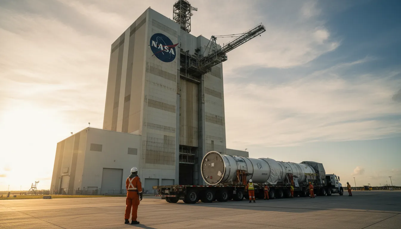
Since 1992, a continuous series of satellites has measured sea level from space. The method works like sonar in reverse: the satellite sends a microwave pulse toward the ocean surface, times how long the echo takes to return, and calculates the precise height of the water. Averaged globally, NASA's satellite altimeters can resolve sea level to centimeter-scale accuracy. Unlike tide gauges, satellites cover virtually the entire ocean every ten days and are unaffected by local land movement.
Together, the two methods paint a picture: the current rate of global mean sea level rise has accelerated to roughly 4.6 mm per year—nearly double the rate recorded in the 1990s.
The Blind Spot That Changed Everything
The 2026 Nature study identified a critical flaw in how researchers set the baseline against which future sea level rise is projected. About 90% of past studies used modeled estimates—essentially theoretical calculations—rather than actual field measurements to determine current coastal water heights. When researchers compared those model-based baselines to real-world observations, they found that actual sea levels along coastlines were, on average, roughly one foot (30 cm) higher than assumed. In some parts of Southeast Asia and the Pacific, the gap reached three feet.
The practical consequences are stark. According to PBS NewsHour's coverage of the study, if seas rise by just over three feet by 2100 (a mid-range scenario), correcting the baseline means that 77 to 132 million more people would face inundation than previously calculated—and up to 37% more land could be submerged.
What the Projections Say
Even before the 2026 baseline revision, the numbers were sobering. The IPCC projects global mean sea level will rise between 0.3 and 1.1 meters by 2100, depending on how aggressively the world cuts greenhouse gas emissions. NOAA's upper-end scenario—accounting for possible rapid ice sheet collapse—projects up to 2.2 meters of rise for U.S. coastlines alone by 2100. The baseline correction found by the 2026 study means all of these projections translate to greater real-world flood risk than anyone had planned for.
Why Accurate Measurement Matters
The gap between modeled and measured baselines is not merely academic. Coastal infrastructure—seawalls, drainage systems, building codes, insurance pricing—is designed around official sea level projections. When those projections underestimate reality, cities build defenses that fall short, and planners approve development in zones that will flood sooner than expected. The 2026 findings are a reminder that measurement methodology is never neutral: the tools and assumptions scientists choose shape the policies that follow.
Getting the numbers right, it turns out, is the first step to getting the response right.